In a groundbreaking head-to-head match, OpenAI's O3 model outperformed a Master I-ranked human player in GeoGuessr, demonstrating advanced visual reasoning capabilities that go beyond simple metadata analysis.
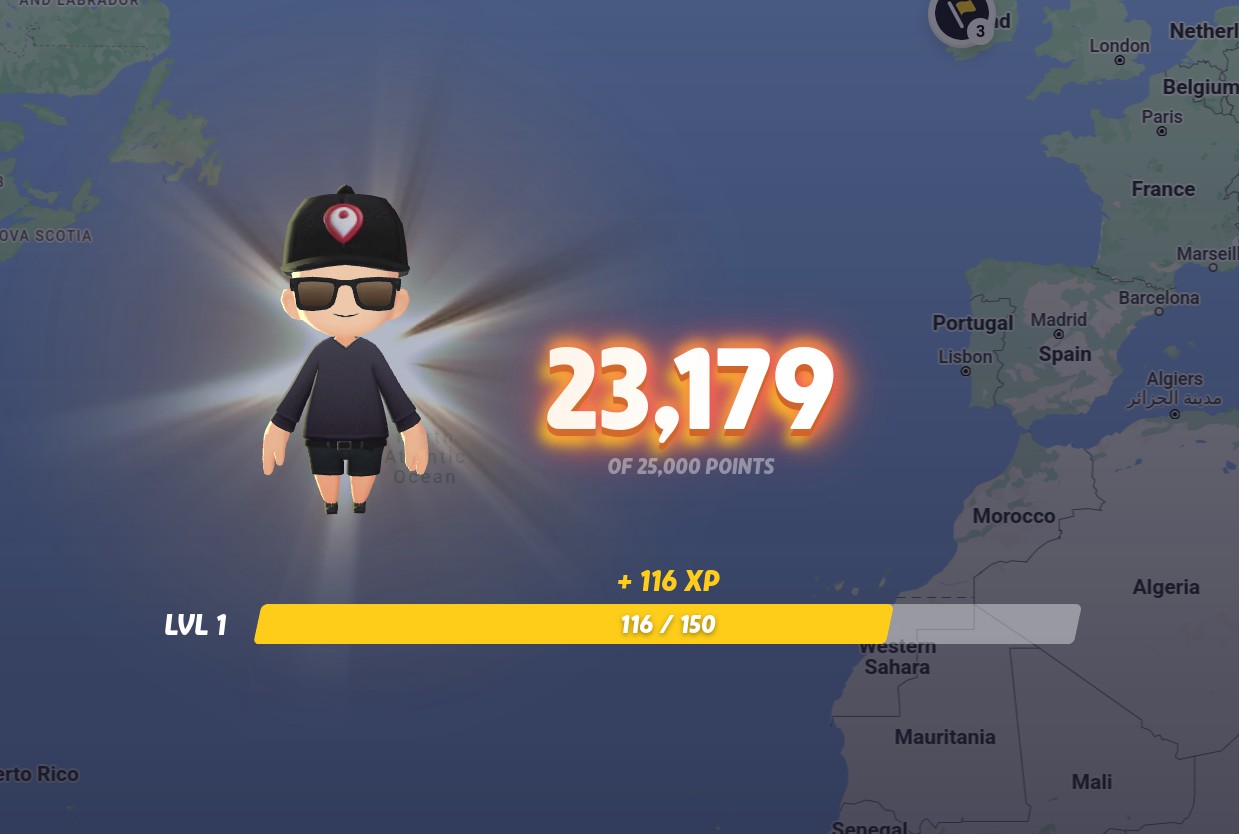
The competition pitted O3 against an experienced player who holds a Master I ranking, just below the Champion division. Over five rounds, O3 scored 23,179 points versus the human's 22,054, correctly identifying all countries and twice pinpointing locations within a few hundred meters.
What makes this achievement remarkable is that O3 relied purely on visual analysis rather than hidden GPS data. Even when the human competitor embedded fake GPS coordinates in the image metadata to try to deceive the AI, O3 ignored the false information and still accurately determined the real locations.
The AI demonstrated sophisticated geographic knowledge, analyzing details like road markings, architecture, vegetation, and terrain to make its determinations. For example, in Austria, O3 used the distinctive mountain silhouette and local architectural styles to identify the exact town of Dornbirn.
While O3 proved highly accurate, the human player maintained one key advantage - speed. The AI typically required 2-6 minutes per guess, while the human could often determine locations within seconds.
The match revealed that O3's success comes from genuine visual reasoning and geographic expertise rather than tricks or metadata exploitation. This marks a major milestone in AI's ability to perform complex real-world visual analysis tasks at an expert human level.
"Whether you view this as dystopian or as a technological marvel - or both - you can't claim it's a parlor trick," noted the human competitor after the match. The results demonstrate that modern AI systems can achieve mastery of specialized visual skills through sophisticated pattern recognition and reasoning.